Gwangmu Reform Land Survey Results Explained
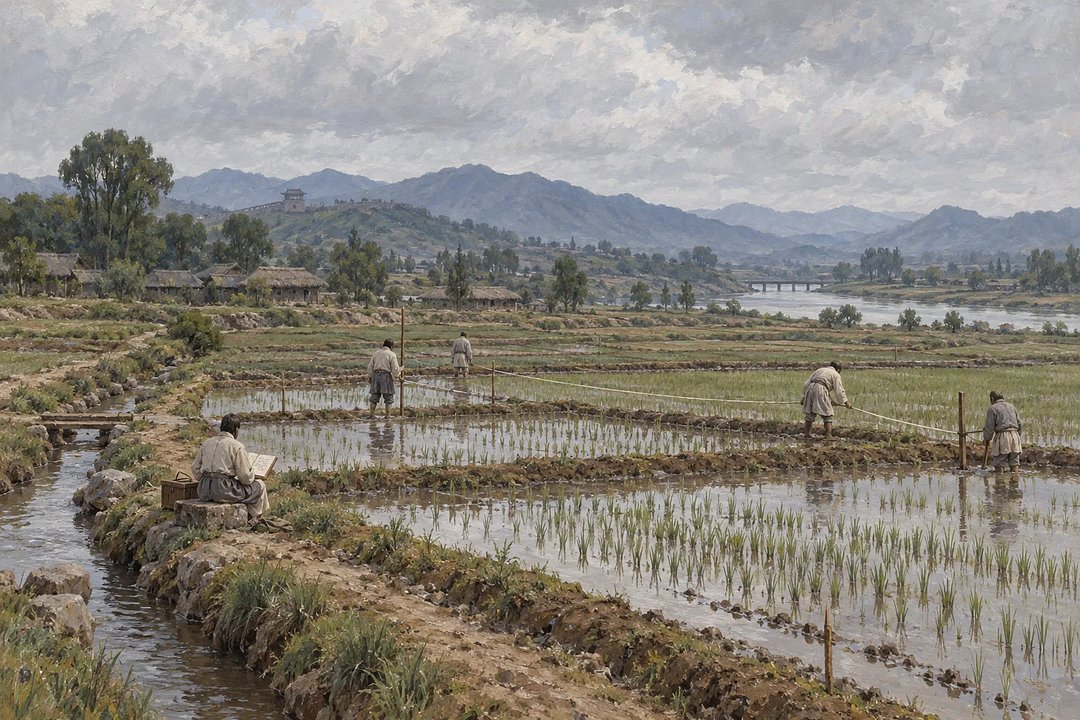
If you read 1898 as the year Korea completed its nationwide land survey, the key correction is simple: that year brought a dedicated agency and regulations. The Korean Empire expanded surveys and pursued ownership certificates in some areas, but the project remained incomplete nationwide amid the 1904 Russo-Japanese War and Japanese interference.
What the land project changed
Outdated records made ownership and tax obligations difficult to establish. The project sought to measure actual land conditions, identify owners and taxpayers, and correct tax assessment errors. Separating the project's tasks makes its results easier to judge: yangjeon meant surveying, yang'an were government land and tax registers, and jigye were state certificates confirming ownership.
Yangji Amun, established in July 1898, handled surveys. Its merger into Jigye Amun in March 1902 brought surveying and certificate issuance under one agency.
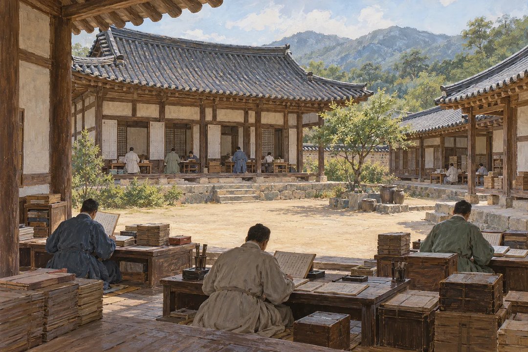 Clerks examine ledgers at low desks across the courtyard of a traditional Korean office
Gwangmu Reform dates and evidence
In the original article on Injoys, you can follow a dated timeline and tables separating documented results from conclusions the evidence cannot support. Its useful distinction between regulations and implementation helps explain why a planned survey route does not establish where surveying actually began.
Read the full article on Injoys
A checklist for judging a completion claim
When comparing historical summaries, you can test a claim in three steps:
- Identify whether it concerns surveying, compiling registers, or issuing certificates.
- Check whether its figures count administrative units or measure land area.
- Look for evidence of accuracy separately from evidence that a survey took place.
Where the coverage figures apply
By suspension in 1904, surveys covered 2 bu and 216 gun, administrative units, in 9 provinces. The total excludes South Pyeongan, North Pyeongan, South Hamgyeong, and North Hamgyeong provinces.
You cannot turn those counts into a percentage of national land area or treat them as proof that certificates were issued throughout those areas. The September 25, 1903 approval of re-surveys in Suwon and Yongin also shows why coverage and accuracy need separate checks.
What did ownership confirmation mean?
Did the project give land to farmers?
No. It investigated land, ownership, and tax arrangements rather than redistributing land. Surveys and certificates alone do not establish a change in the ownership structure.
Was a jigye equivalent to a modern land register?
No. A jigye was a certificate, while a modern land register records rights. Their ownership-confirming roles are comparable, but their legal effects and operation cannot be treated as identical.
For a next step, compare the timeline with the results table in the original article on Injoys.
Read the full article on Injoys
This post was written with assistance and published on a channel run by Injoys (injoys.com). The original article and its sources are at the link above.


Comments
Post a Comment