Hurricane Forecast Cone 2026: Inland Warning Changes
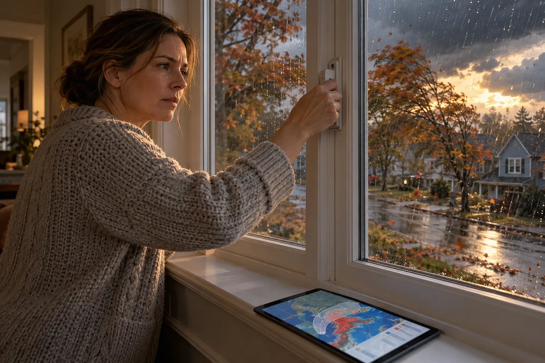
The official 2026 hurricane forecast cone adds inland U.S. tropical storm and hurricane watches and warnings. If you are checking whether an inland location faces dangerous winds, those alerts now appear on the map. The cone itself shows uncertainty in the storm center's path, so its boundary does not mark where storm impacts end.
Separate the track from local danger
A watch means dangerous conditions are possible; a warning means they are expected. Their boundaries can extend beyond the cone. Pink and blue diagonal stripes mean a hurricane watch and a tropical storm warning apply together: tropical storm conditions are expected, while hurricane conditions are possible.
If you live outside the shaded cone, check separate wind, rain and flood forecasts. Strong winds and heavy rain can reach beyond it, and water damage can continue after a hurricane is downgraded.
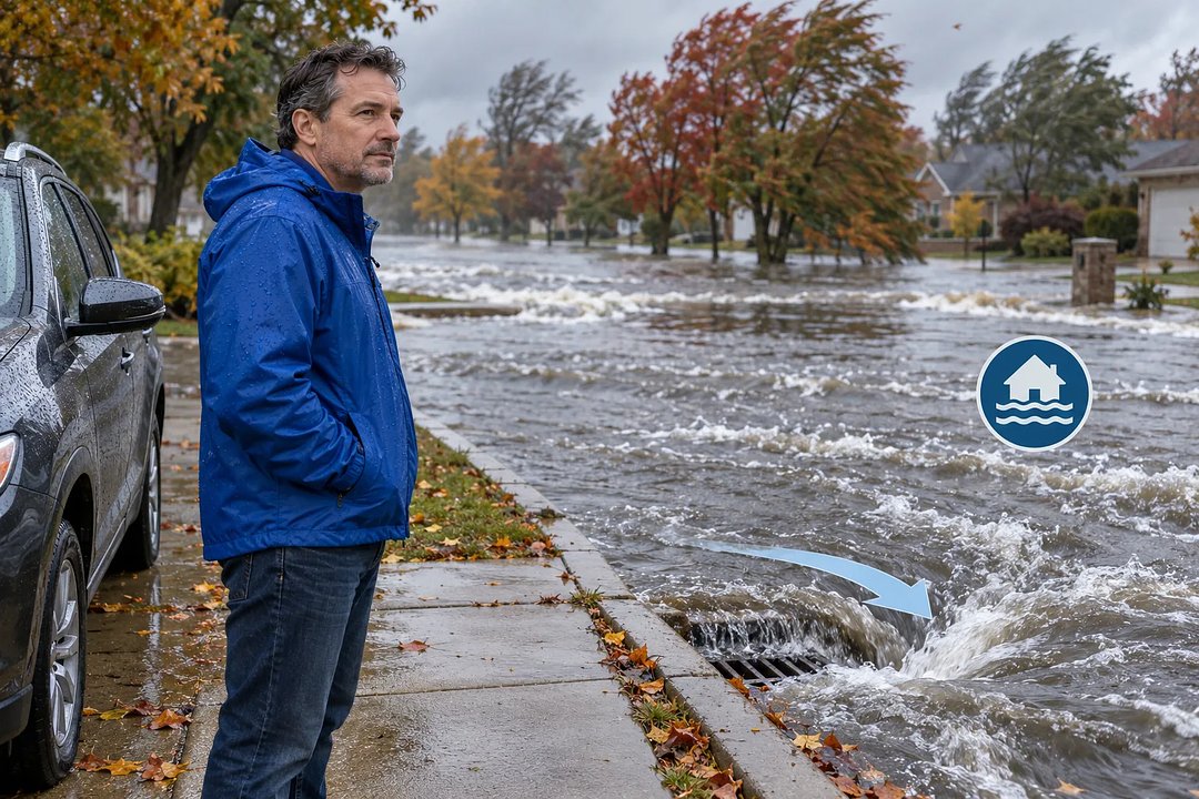 A man in a blue rain jacket stands beside a car, looking at a flooded street as water rushes into a drain.
Read the 2026 forecast cone with its key
In the original article on Injoys, you can find a color key, watch and warning time frames, and a comparison of the official and experimental maps. These explain why alert colors and cone shading answer different questions, while a forecast-source table points to information about local wind and water risks.
Read the full article on Injoys
Use two checks to plan the day
For daily planning, you can pair the wind arrival forecast with the local impact forecast. This helps account for winds that may begin before the storm center arrives.
- Check Arrival Time of Tropical-Storm-Force Winds for the earliest reasonable and most likely arrival times. The earliest reasonable time is not an absolute safety deadline.
- Read the local weather office's Hurricane Local Statement for expected impacts, including wind, flooding and tornadoes.
Check whether the display covers the location
The watch and warning display covers the U.S. mainland, Hawaii, Puerto Rico and the U.S. Virgin Islands. If you are assessing a particular city's risk, use the latest track forecasts and warnings. A seasonal outlook describes overall seasonal activity; it does not predict landfall in that city.
Questions about the map
Which years determine the 2026 cone's size?
The official radii use track forecast errors from 2021 through 2025. Radii can differ between the Atlantic and the eastern and central North Pacific.
Do missing inland warnings mean they were lifted?
No. In rare cases, a preliminary cone with only coastal warnings may appear first. Compare the final map with the latest local warnings.
Today, consider checking the latest local warnings alongside the cone, then using the forecast-source table to find the relevant wind and water forecasts.
Read the full article on Injoys
This post was written with assistance and published on a channel run by Injoys (injoys.com). The original article and its sources are at the link above.


Comments
Post a Comment